
Looking Up Solano County Neighbors
A block-level neighbor lookup works best as a set of narrow questions about nearby Solano County neighbors. ReGIS shows parcels and jurisdiction layers. The Assessor may show owner and mailing fields, but fields vary by interface and do not prove occupancy. The Recorder supplies a separate deed chain for each owner. Permits add dated work and responsible-party clues. Community groups publish public contacts and events, not private membership rolls.
| Source | What It Shows About a Block | Access |
|---|---|---|
| Solano ReGIS applications | Parcel shapes, adjacency, city or unincorporated status, districts, and available map layers | Free dynamic map browsing |
| Assessor parcel and tax fields | APN, situs, owner or mailing fields where disclosed, assessment context | Property search, map, email, counter, or request |
| Recorder Official Records | Each owner's grantor and grantee chain, document type, date, and number | Party/date index; copies or office research |
| City or County permits | Address-specific work, owner or contractor, dates, valuation, and status | Jurisdiction portal or public-record request |
| Permitted voter file | Registered electors at approved addresses or precinct geography, not every neighbor | Application and permitted use under California Elections Code |
| Neighborhood groups and HOAs | Public officers, contacts, events, or private association information where intentionally published | Public organization page; member lists usually private |
ReGIS is a regional consortium. Its partner directory spans Benicia, Dixon, Fairfield, Rio Vista, Suisun City, Vacaville, Vallejo, Solano County, LAFCO, districts, and Travis Air Force Base. That breadth explains why a block can sit inside several overlapping jurisdictions while still using one parcel map entry.
Solano County Neighbors Beyond the ZIP Label
Homeacres is a sharp local example for Solano County neighbors. The unincorporated island covers 312 acres, holds about 650 dwellings, and is surrounded by Vallejo while County Resource Management supplies land-use services. A mailing identity can therefore point toward Vallejo even when the parcel belongs to the county. ZIP codes are delivery routes, not legal boundaries.
For an unincorporated parcel, use the county Tax Parcel Viewer by APN or address and enable the Solano County Unincorporated Zoning layer. For a parcel inside a city, use that city's planning or building channel. USPS verifies the postal code, while ReGIS verifies the parcel's map and jurisdiction. Neither tool is a list of occupants.
Geography check. Cordelia, Green Valley, Mare Island, Travis Air Force Base, Suisun-area pockets, and Delta routes are mismatch zones where postal, city, county, and district labels can diverge.
Map Solano County Neighbors Parcel by Parcel
The adjacent-parcel method starts with one geocoded address and expands only as far as the question requires. Exact dynamic controls are not fully documented, so use the launched ReGIS application, read its legend, and record the map name and date. A visual adjacency is a research clue, not a legal boundary determination.
- Geocode the subject address in the appropriate ReGIS parcel application and select the subject polygon.
- Zoom until lot lines and neighboring shapes are clear, then click each abutting or nearby polygon one at a time.
- Record each APN and situs address, then check the Assessor channel for disclosed owner or mailing fields.
- For a specific owner, search the Recorder by party name and date, matching the parcel's legal description rather than the address.
- Stop at the immediate block unless a larger radius is needed, and keep city, county, district, and unincorporated status beside each parcel.
The process is address → parcel → APN and situs → owner or mailing clue → Recorder party chain. These neighbors remain record clues, not a complete occupant list. When the question expands to a whole named street, use the Solano County street directory workflow for the longer address sequence.
ReGIS may offer zoom, pan, parcel selection, layer list, basemap, legend, measurement, print, or share tools, but the available controls depend on the selected application. Do not treat a map screenshot as a certified survey or title record.
Solano County Neighbors: Owner and Situs Clues
The Solano Property and Assessment Search is the assigned parcel-search reference. It supports parcel-number or street-address and map-oriented research, while the public research did not verify an unrestricted owner-name web mode. Owner and mailing fields may vary. If the web viewer omits a nonconfidential assessment field, ask the Assessor at assessor@solanocounty.com or at the counter.
Open the Solano Property and Assessment Search before copying a neighbor clue into notes.
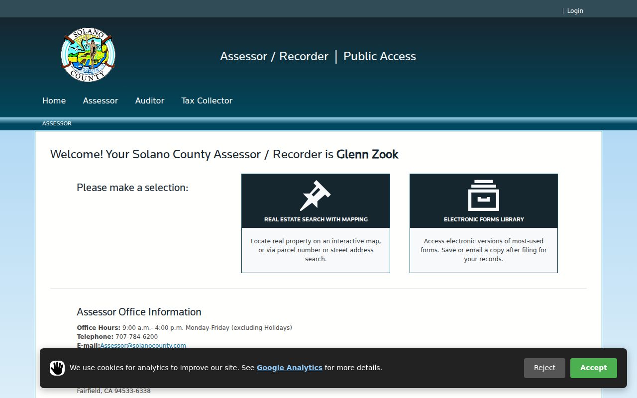
The image helps identify the public property-search channel, but a displayed owner is not proof of who occupies the parcel. Confirm a transfer through the Recorder and keep the situs and mailing addresses distinct.
For permits, incorporated parcels route to the relevant city, while unincorporated work routes to County Resource Management. Active code cases can restrict detail; ask for closed-case notices, inspection dates, and final dispositions by address under the California Public Records Act when the record is identifiable.
Privacy Limits for Solano County Neighbors
An Assessor owner field is not an occupancy list. A mailing address can point outside the parcel. Non-owner occupants, household members, utility customers, DMV addresses, delivery records, and private association rosters are not a casual public street directory. A visible parcel polygon shows land geometry, not who is inside a building on a particular day.
California's Safe at Home program uses a substitute mailing address and confidential mail forwarding for eligible survivors and specified participants under Government Code sections 6205-6211. The federal Driver's Privacy Protection Act limits DMV personal information. Voter data is controlled by Elections Code sections 2180-2194, with signatures, identification numbers, and Social Security numbers protected. A missing address can be an intentional safeguard.
Lawful use. Solano County neighbor research belongs to civic curiosity, family reconnection, and personal safety awareness. Penal Code section 646.9 and Code of Civil Procedure section 527.6 address stalking and harassment; do not watch, threaten, intimidate, or expose a protected person.
Solano County Neighbors and Public Contacts
Community organizations can answer a different neighbor question: who serves as a public contact, when an event occurs, or which civic area is active. They do not normally publish every member or household. The research does not identify one countywide association roster, so build the contact layer city by city and verify that an officer or event page is intentionally public.
ReGIS geography
Partner cities, county, LAFCO, districts, and Travis Air Force Base.
Partner directoryHistorical groups
City museums and local-history groups may publish contacts, events, or subject files.
Historical SocietyNeighborhood records
Public officers and event notices can be cited; member rosters remain private unless deliberately posted.
Verify with the groupHOAs are private associations. A Secretary of State filing may identify an agent, but an agent is not a resident directory. Congregation, block-watch, and club rosters should be treated the same way unless a custodian has chosen to publish them.
Solano County Voter Data Has a Gate
California My Voter Status is an individualized verification tool. It asks for first name, last name, date of birth, and identity details where prompted, then returns a matched person's registration status, party preference, precinct, polling place, and election information. It is not a public name directory and does not expose ballot choices.
| Individual check | My Voter Status, for the person's own verification inputs. |
|---|---|
| Permitted file | State voter-file request application with applicant identity, purpose, geography, record types, security terms, and delivery choice. |
| Specific voters | Up to ten named specific voters may be requested under the state application; an unidentified street or city group is not the same request. |
| Local contact | Solano Registrar of Voters, 675 Texas Street, Suite 2600, Fairfield; 707-784-6675 or 888-933-VOTE. |
A full file request is mail or hand-delivery only, with stated processing of 7-14 business days. The state application describes permitted categories, use, security, geography, and delivery. Fees vary by file choice, with published amounts of $15 per 1,000 records for a full file and $30 per specific record, subject to the stated minimums, maximums, and limits. Ask the custodian for the current schedule.
Even an approved extract shows registered electors, not every adult, current occupant, household member, or person who visits a block. Elections Code sections 2180-2194 and section 18109 control access and use.
Solano County Safety Sources Need Context
The official California Megan's Law website offers name and map or address-area searching under a statutory-use warning. It is a public safety resource with defined limits, not a list of every Solano County neighbor. A displayed result must be read with the site's disclaimer and never used as an excuse to confront, follow, publish, or threaten anyone.
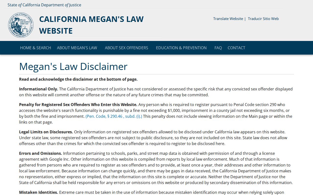
The image identifies the official safety lookup channel. It does not establish residence beyond what the state lawfully displays, and it cannot replace a parcel, deed, or occupancy record.
For a current custody clue, the Solano Sheriff booking log is a rolling seven-day disclosure refreshed nightly, while the CDCR locator covers state custody. The Federal Bureau of Prisons locator is a separate federal route. Those sources are time-sensitive and do not describe an ordinary block. Use the responsible agency when the question concerns an incident or immediate danger.
Official Rolls and Compiled Neighbor Tools
Official Solano County channels have a named custodian, a defined record type, and a stated access rule. Commercial compilation tools may combine public and private data, merge similar names, or lag behind a change. Neither category turns a parcel owner into proof of an occupant. Use an official source to verify neighbors and treat an unverified compilation as a lead that needs independent confirmation.
| Question | Official record route | What still needs care |
|---|---|---|
| Who owns the parcel? | Assessor fields, then Recorder deed chain | Mailing address and ownership do not establish occupancy. |
| Which lots touch it? | ReGIS parcel geometry and map layers | Visual adjacency is not a survey or title determination. |
| Who is registered? | My Voter Status or a permitted file request | Restricted purpose, incomplete household coverage, no ballot choice. |
| Who is a public contact? | Association, civic, museum, or city page | Public officers do not imply a private member list. |
For a broad records request, California's Public Records Act uses Government Code sections 7920.000 and following. A request should identify an existing record series, date span, address or parcel, and custodian. It does not require an agency to create a new neighbor report.