
Solano County ZIP Codes and Their Routes
Solano County ZIP codes follow delivery routes. They can cross an incorporated line, rural edge, military installation, or county boundary. The list below uses the verified Solano-area postal names and cautions from the research. It is a practical starting layer, not a legal boundary file. Verify a particular address with USPS and then check the parcel jurisdiction in ReGIS.
| ZIP Code | Areas Covered | Post Office | Notes |
|---|---|---|---|
| 94510 | Benicia and nearby edge areas | Benicia | Verify the parcel boundary |
| 94512 | Birds Landing and rural Delta | Birds Landing | Rural delivery route |
| 94533 | Central and north Fairfield | Fairfield | County-seat office area |
| 94534 | West Fairfield, Cordelia, Green Valley vicinity | Fairfield | City and unincorporated edges |
| 94535 | Travis Air Force Base | Travis AFB | Military installation geography |
| 94571 | Rio Vista and rural Delta | Rio Vista | Delta-area delivery |
| 94585 | Suisun City and nearby county pockets | Suisun City | Verify the service boundary |
| 94589 | North Vallejo | Vallejo | City route |
| 94590 | Central and west Vallejo | Vallejo | Civic core and city route |
| 94591 | East Vallejo | Vallejo | City route |
| 94592 | Mare Island | Vallejo | Naval-history and military layer |
| 95620 | Dixon and rural routes | Dixon | Northeast county geography |
| 95625 | Elmira and rural delivery | Elmira | Unincorporated community |
| 95687 | South and east Vacaville | Vacaville | City and rural edge |
| 95688 | North and west Vacaville | Vacaville | City and rural edge |
| 95690 | Walnut Grove and Delta edge | Walnut Grove | Primarily Sacramento County; verify Solano parcels |
The research did not verify a convenient official countywide ZIP-to-neighborhood table, and several fringe candidates need address-level USPS and ReGIS validation before inclusion. Census QuickFacts for Solano County supplies current population context, but it does not convert a population estimate into a ZIP-wide resident list. ZIP 94533 is documented as a new delivery ZIP effective July 1, 2002. Historic realignment dates and exact PO-box-only codes were not located. A postal name is a clue, not a legal conclusion.
Solano County ZIP Routes, Not County Lines
USPS ZIP codes are delivery routes. They are not municipal boundaries, county boundaries, school districts, or a promise about which office holds a record. Solano's seven cities sit beside large unincorporated agricultural and Delta areas, Travis Air Force Base, Mare Island, and places where the postal city differs from the legal jurisdiction. The ZIP code directory must therefore be read as a routing layer.
When a ZIP narrows the search, carry the full street address into the next tool. USPS verifies the postal code. ReGIS shows the parcel, city or unincorporated status, and district context. County Resource Management handles unincorporated land, while a city planning or building office handles an incorporated parcel. Annexation does not necessarily change the postal city or ZIP.
Fairfield ZIP 94533 and 94534
Fairfield is divided across at least two familiar ZIP routes. ZIP 94533 covers central and north Fairfield and sits near the county-seat office geography. ZIP 94534 covers west Fairfield, Cordelia, and the Green Valley vicinity. The latter route reaches city and unincorporated edges, so the same postal label does not settle whether a permit or planning record belongs to Fairfield or the county.
USPS address verification should come before a parcel query. ReGIS then supplies the jurisdiction layer. An assessment or permit search should use the exact situs address and APN when available. A ZIP filter alone can return a broad route and can miss the legal description that a deed search needs.
Vallejo and Travis ZIP Geography
Vallejo's 94589, 94590, 94591, and 94592 pattern reflects separate north, central or west, east, and Mare Island routes. Mare Island adds naval and military history to a postal code that cannot be treated like a simple residential city label. ZIP 94535 serves Travis Air Force Base, a unique geography with federal records and address rules beyond ordinary county records.
For a Vallejo or Travis address, match the USPS result to ReGIS and then use the office that owns the question. A parcel or permit may route to a city or county source. Historical military and Mare Island research may lead to museum, base newspaper, NARA, or State Archives material rather than a current ZIP directory.
Dixon, Vacaville, and Delta ZIP Edges
Dixon and Vacaville occupy the county's northeast and rural edge. ZIP 95620 covers Dixon and rural routes; 95687 and 95688 divide south and east from north and west Vacaville, with rural edges in both. ZIP 95625 serves Elmira. Birds Landing uses 94512, Rio Vista uses 94571, and 95690 is primarily a Sacramento County ZIP whose Solano edge needs address-level verification.
Rural records may use a road, route, ranch, township, school, irrigation district, or legal land description rather than a subdivision street number. That is why a ZIP code directory can narrow geography while still requiring the APN, parcel map, and exact record series.
Finding Solano Residents by ZIP Code
A ZIP code can narrow a search, but no Solano County source in the research provides a complete public ZIP-wide resident directory. Use the route as a filter in your notes, not as a claim about who lives there. Parcel work belongs in the assessor or ReGIS tools. A permitted voter-file request belongs with the Registrar or Secretary of State. Historical names belong with directories, newspapers, cemetery records, probate, or archives.
- Verify the full delivery address and ZIP through USPS.
- Use ReGIS to identify the parcel, city or unincorporated status, and relevant district.
- Search the property or permit record with the address and APN, not only the ZIP.
- Request voter-file information only for a purpose and geography allowed by California law.
- Hand a narrowed street or parcel to the address workflow for deeds, permits, or prior households.
Once a ZIP has narrowed the route, the Solano County street directory process takes over at the exact address. A ZIP code directory is the first geographic cut, not the final record search.
Verify Solano ZIP with USPS and ReGIS
A resident search should not infer city services or record custody from a ZIP code. Enter the full address into the USPS address-to-ZIP lookup, then carry the confirmed address into the Solano ReGIS application gallery. The first tool answers delivery routing. The second helps answer parcel and jurisdiction questions.
The ReGIS partner directory covers cities, county agencies, LAFCO, districts, and Travis Air Force Base. Its applications are dynamic and the exact controls vary. Record the application used, the date, and the parcel result. For street-level named records after the ZIP is narrowed, use the Solano County street directory workflow.
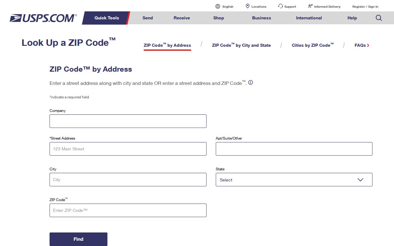
The USPS result confirms the postal side of the address, not who owns or occupies the parcel.
Solano ReGIS supplies the map-side route.
ReGIS helps separate postal geography from city, county, district, and parcel jurisdiction.
The ReGIS partner directory identifies the agencies behind the map layers.
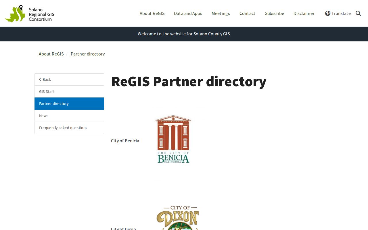
A partner name is a routing clue, not a guarantee that every layer is public or current.
Solano ZIP Searches and Parcel Records
The county's property and permit tools can be useful after a ZIP has reduced the geography. The unincorporated Accela lookup can search property or permit information by address, parcel, owner, or record information, but its dynamic options were not recoverable as a stable field list. Use the exact street address and APN, then verify a result with the county or city custodian.
The county's newer tax system added current and historical assessed values, current and prior bills, payment history, fillable forms, and cart functions after a transition backlog. A prior owner's name or a missing reduction on a bill is a reason to ask the Tax Collector, not a reason to redraw the ZIP boundary. ZIP routing and parcel taxation are different systems.
Solano unincorporated property and permit lookup shows the address-side search path.
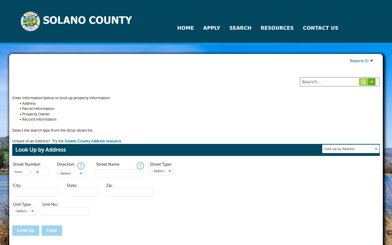
The Accela screen is a parcel or permit tool, not a ZIP-wide resident list.
Why a Solano ZIP Is Not a People Directory
The Recorder does not offer casual ZIP browsing because its index is built around parties, dates, and document types, not postal routes. My Voter Status is individualized, and any broader voter-file request must satisfy California Elections Code requirements. A ZIP-wide result would still not include every adult, current occupant, renter, or protected participant.
The County Clerk and Tax Collector are useful for fictitious business names, marriage records, tax accounts, and related filings, but those records answer specific questions. A business mailing address is not a household address. A tax account is not an occupancy roll. A ZIP code directory works when it sends a precise address to the office that can answer the next question.
Solano Treasurer-Tax Collector-County Clerk services show the separate county record channels.
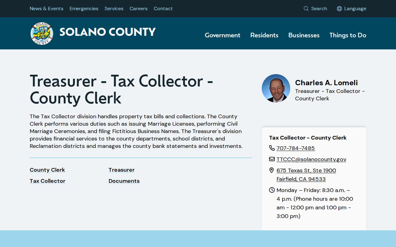
The county office is a custodian for named record sets, not a master directory of everyone using a postal route.
Solano ZIP Codes Versus City Limits
Homeacres is a clear Solano example. The 312-acre unincorporated island is surrounded by Vallejo, contains about 650 dwellings, and can carry a Vallejo mailing identity while County Resource Management supplies land-use services. That mismatch is why a postal city cannot decide which assessor, planning, permit, or public-works office holds a record.
Use USPS for the delivery code and ReGIS for the parcel jurisdiction. For unincorporated land, the county directs users toward its Tax Parcel Viewer and the Solano County Unincorporated Zoning layer. Inside one of the seven cities, the city's planning office is the appropriate next contact. A ZIP code directory becomes reliable when the postal and legal layers stay separate.
- ZIP versus ZIP+4
- A five-digit delivery area compared with the added four digits that narrow a delivery point or route.
- PO-box ZIP
- A ZIP used for post-office box delivery rather than ordinary street delivery.
- Unique ZIP
- A postal code assigned to one major institution or distinct delivery point.
- Carrier route
- A delivery sequence within a ZIP, not a legal neighborhood or parcel boundary.